
The Walk
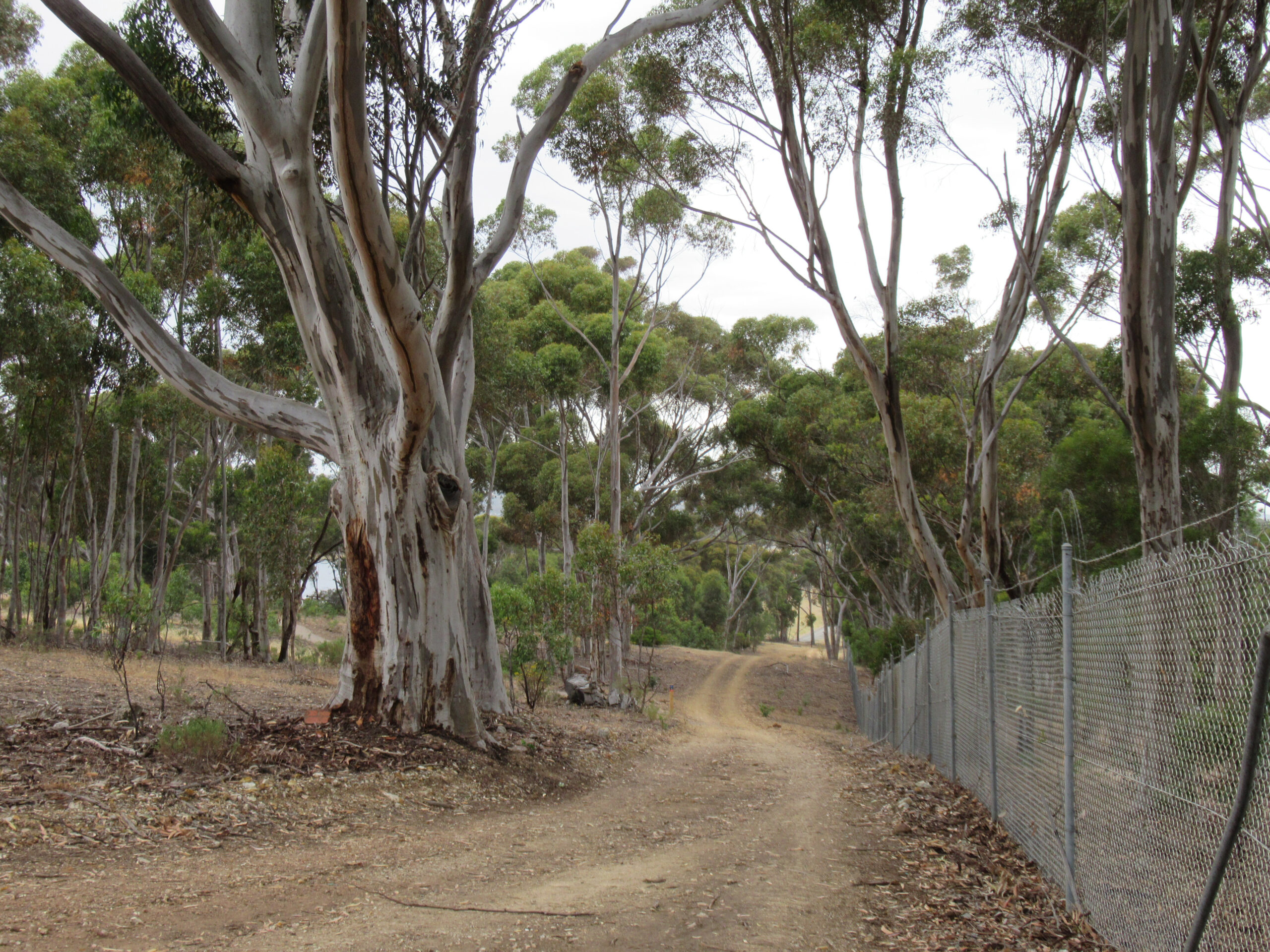
The Boundary Loop is the full perimeter circuit of Happy Valley Reservoir. At 10.16 km with 173 m of total ascent, it is the most demanding walk in the reserve and the only one that circumnavigates the entire water body. Walking SA rates it Grade 4 Challenging, citing very steep hills throughout — and unlike the Grade 4 Shoreline Loop which is undulating, the Boundary Loop’s climbs are sharper and more concentrated.
This is the walk for people who’ve already done the Shoreline Loop and want to see the rest of the reservoir. It takes a substantially different route, following the outer boundary of the reserve rather than tracing the water’s edge. This means more climbing, more exposure on the western ridge, and — on a clear day — better views across to the outer suburbs and hills.
The trail is also open to mountain bikes and is regularly used by trail runners, making it the most active-use circuit in the network. Weekday mornings are quieter; weekend mornings can be busy near the carpark end.
The Terrain
The elevation range of 148 m to 201 m sounds modest, but the route achieves it via multiple sharp ascents rather than a gradual rise. The western boundary section involves sustained steep climbing and is the point where most walkers will feel the grade most acutely. Good trail shoes with grip are appropriate; poles are useful for the steeper descents.
The surface is consistent with the rest of the Happy Valley network — formed gravel and compacted dirt throughout. There are no technical sections, but the steep grade on loose gravel demands sure footing.
Glenthorne National Park
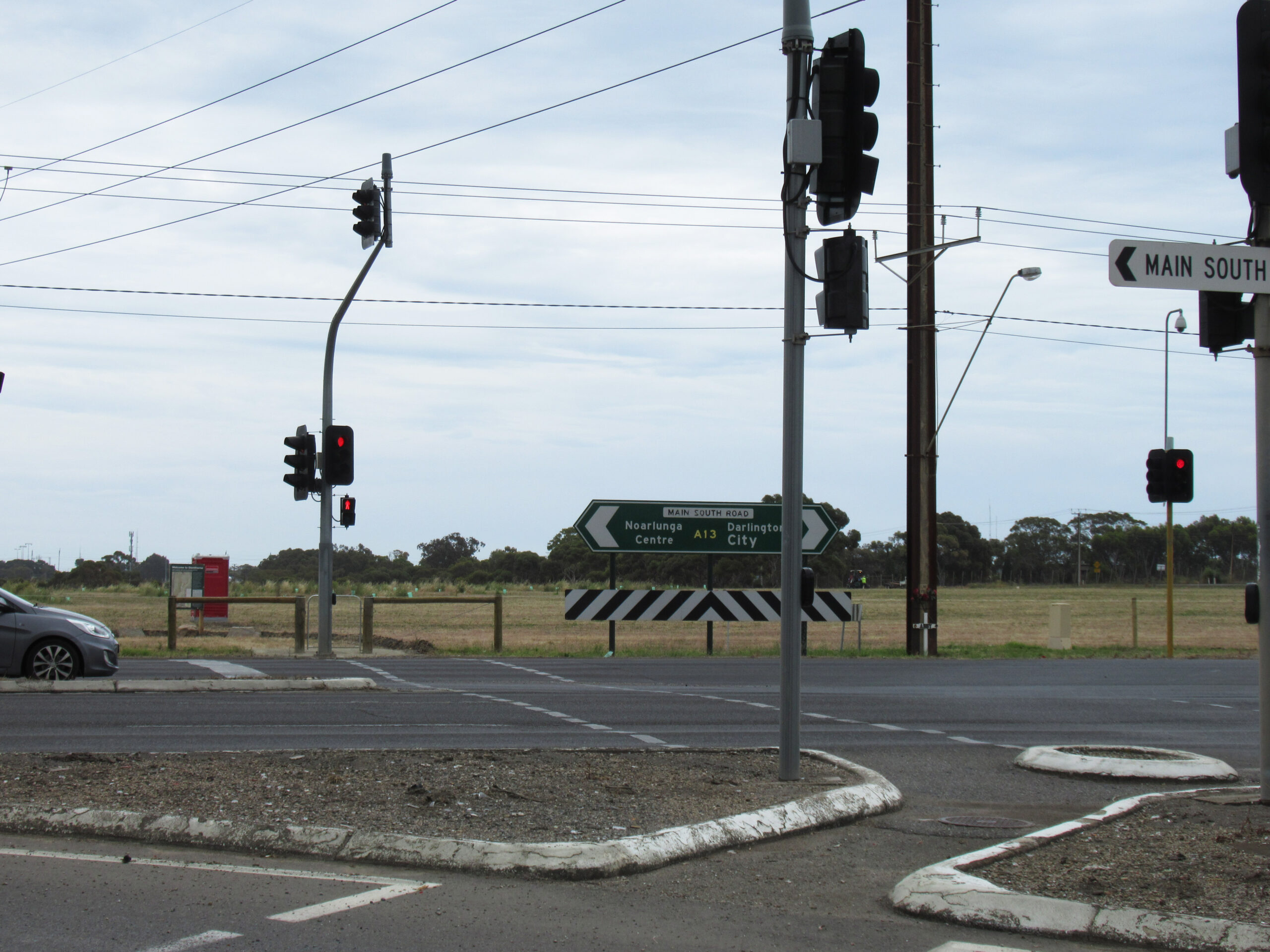
A pedestrian crossing at the South Road / Black Road intersection connects the Boundary Loop directly to Glenthorne National Park. Glenthorne is a developing national park on the southern fringe of the metropolitan area — trail infrastructure is being expanded progressively. The connection point means a longer day walk combining both reserves is feasible, though you’ll need to research current Glenthorne trail conditions separately as they are not covered here.
Access Points
The main trailhead at the Chandlers Hill Road / Kenihans Road roundabout is the standard start point. A secondary carpark near the dam wall provides alternative access from Manning Road, which is useful for accessing the Minkarra Park section or if the main carpark is full on busy mornings.
Practical Notes
- Allow 3 hours at a steady walking pace — more if you add Glenthorne
- Very steep hills on the western boundary — trekking poles recommended
- Carry 1.5–2 litres of water; no fountains on course beyond the trailhead
- Mountain bikes and trail runners share the trail — stay aware
- Reserve closes on Total Fire Ban days — check cfs.sa.gov.au
- Gates locked at closing time — 5:00 pm in winter; don’t start after 2:00 pm
- No dogs anywhere in the reserve
- Green trail markers throughout — follow carefully at junctions near the trailhead