The Walk
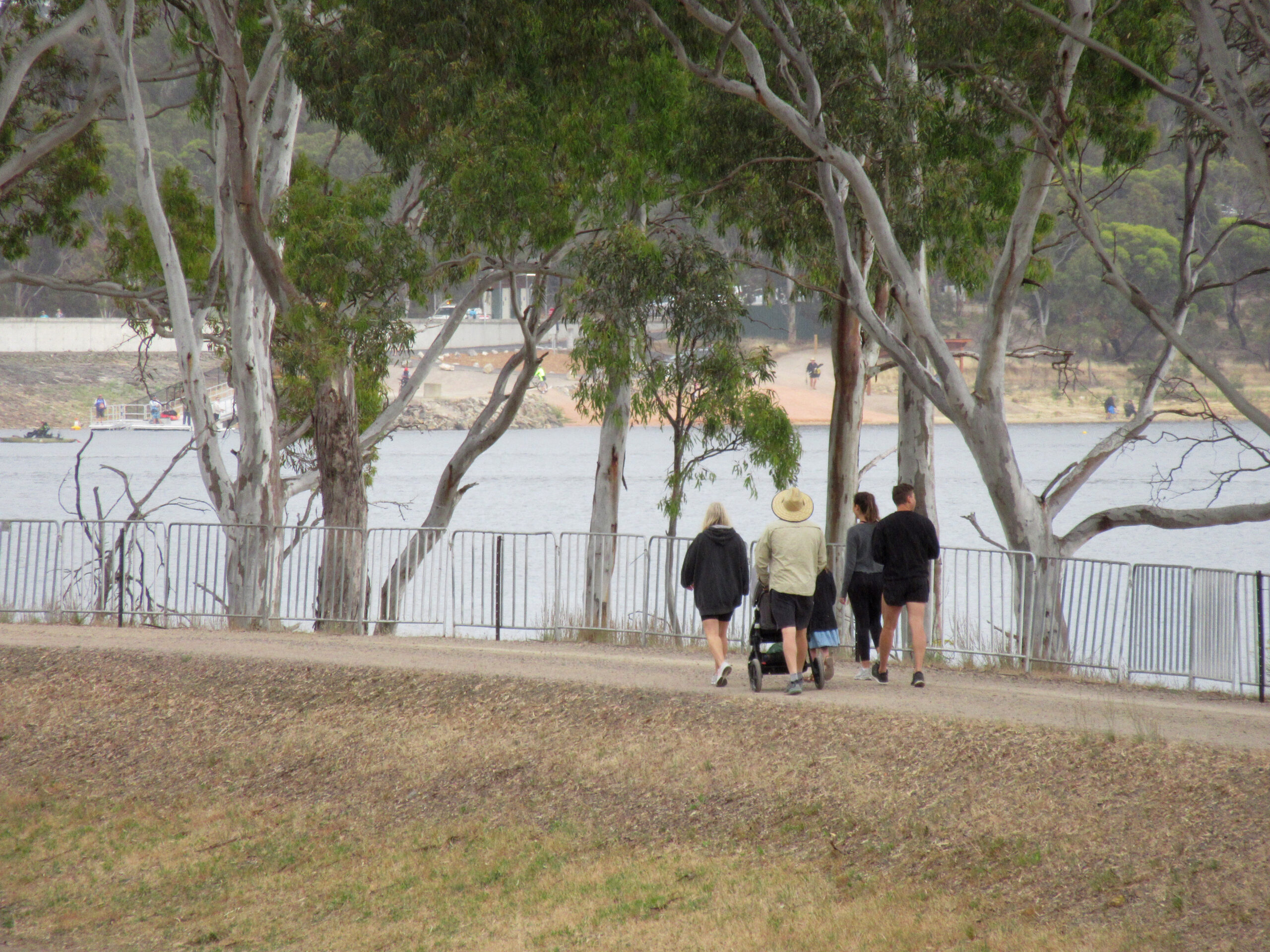
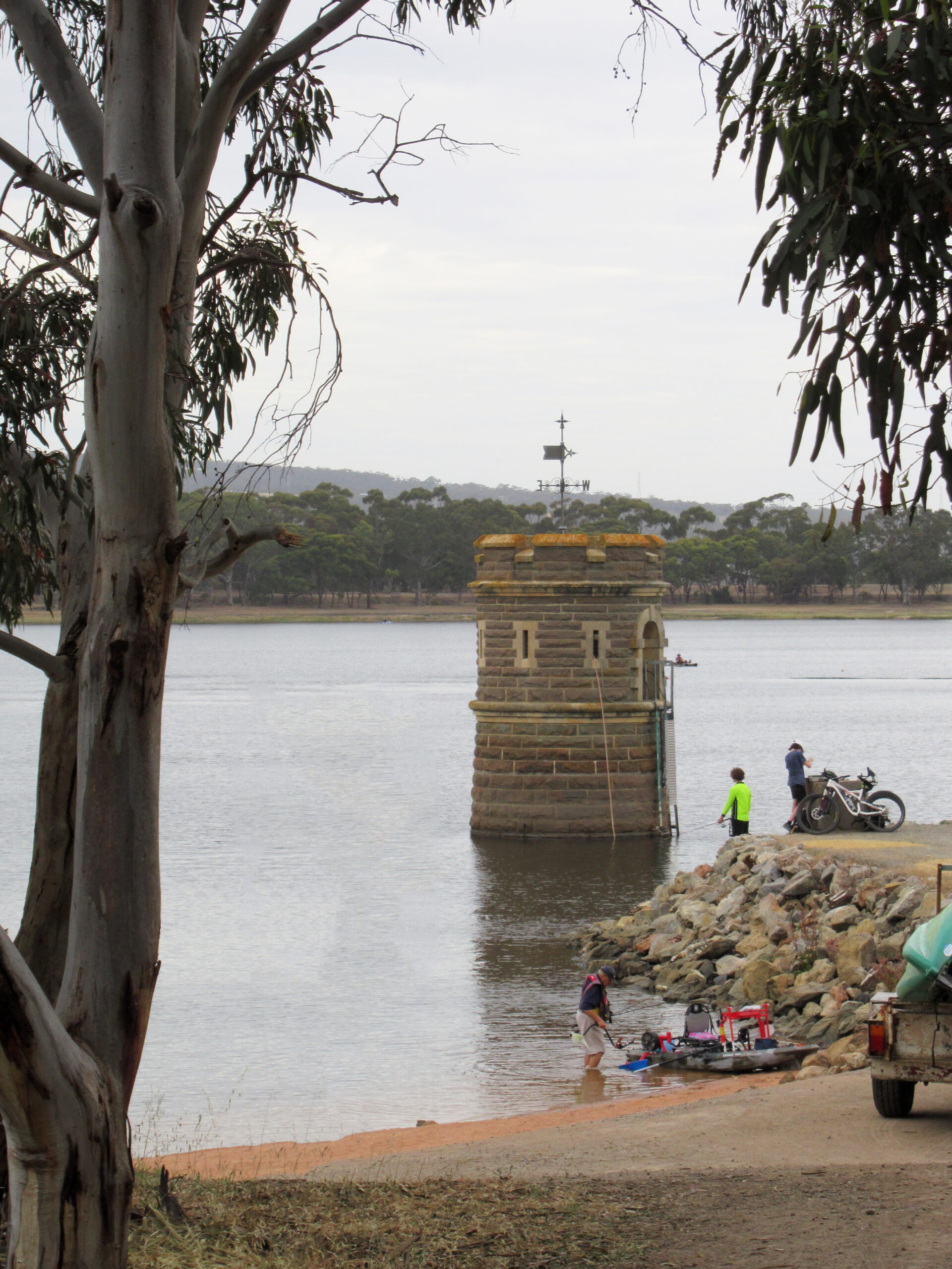
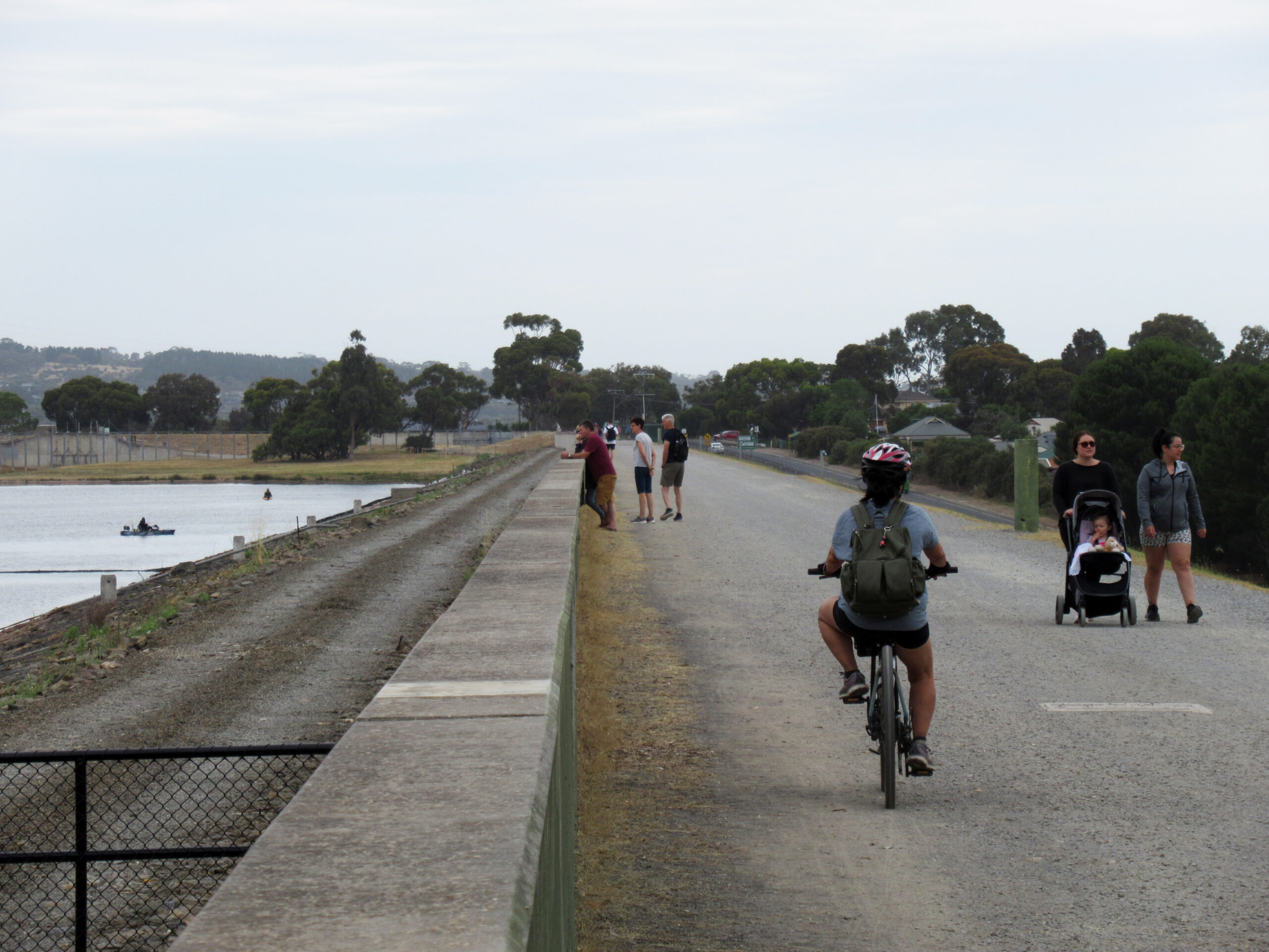
The Happy Valley Reservoir Shoreline Loop is one of the better-kept secrets in the southern suburbs. Sitting in a shallow basin between Sheidow Park and Chandlers Hill, the reservoir has been a drinking water source for Adelaide since the 1890s. The 10.87 km circuit around its perimeter follows a well-maintained gravel path through native scrub and open woodland, with intermittent water views and some solid climbing in both the northern and southern sections.
This is not an easy walk. Walking SA rates it Grade 4 (Challenging), and that rating is accurate. The cumulative 205 m of ascent feels more significant than it sounds because it arrives in repeated short climbs rather than a single sustained rise. If you’ve been doing mainly flat walks, this will be a step up in effort.
The trail surface is consistent — compacted gravel and formed dirt path throughout — which makes it suitable year-round in dry conditions. Mud can be an issue in the few days following heavy rain, particularly on the south-western section.
The Reservoir
Happy Valley Reservoir is managed by SA Water as part of Adelaide’s metropolitan water supply. The surrounding land is a protected water catchment area, which explains the strict no-dogs policy and the absence of development beyond the walking path and drinking water facilities.
The reservoir level varies seasonally and with rainfall — in dry years it can look significantly lower than in wet years. Birdlife is good year-round, with black swans, cormorants, herons and numerous waterbird species regularly visible from the trail.
Route Description
Starting from the Chandlers Hill Road carpark, the trail heads north along the eastern side of the reservoir. This initial section is relatively flat and gives a good first look at the water and the scrub surrounding it. At around 2 km, the track begins a noticeable climb before easing onto the northern ridge section, which provides open views back south across the reservoir.
The western side involves more undulating terrain as the path negotiates the hilly ground between the reservoir and the suburban boundary. The southern section loops back through denser native scrub before returning to the carpark.
The trail is clearly marked throughout. There are a small number of junctions but directional signage is adequate for navigation — the reservoir is always close by to help with orientation.
Water Fountains
Three drinking water fountains are positioned around the circuit at roughly equal intervals. The first is near the carpark at the start, a second at approximately 3.5 km, and a third around 7 km. All three were operational during the most recent visit, but carry at least 1 litre of water as backup — fountains occasionally go offline for maintenance.
Practical Notes
- Park free at the Chandlers Hill Road / Kenihans Road roundabout carpark
- Opening hours are enforced — gates are locked at closing time, plan accordingly
- No dogs at all, no exceptions
- Check CFS fire danger rating before visiting — reserve closes on Total Fire Ban days
- No mountain bikes — walking only
- No toilets on trail, basic facilities at the carpark